Travel Guide of Waimakariri in New Zealand by Influencers and Travelers
Waimakariri District is a local government district, located in the Canterbury region of New Zealand's South Island. It is named after the Waimakariri River, which forms the district's southern boundary, separating it from Christchurch City and the Selwyn District.
The Best Things to Do and Visit in Waimakariri
TRAVELERS TOP 10 :
- Christchurch
- Godley Head
- Sumner
- Godley Head Road
- Avon River
- New Brighton
- Christchurch Gondola
- Cathedral Square
- Christchurch Botanic Gardens
- Port Hills
1 - Christchurch
Christchurch is the largest city in the South Island of New Zealand and the seat of the Canterbury Region. The Christchurch urban area lies on the South Island's east coast, just north of Banks Peninsula.
Learn more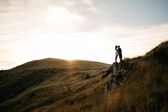
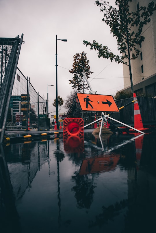
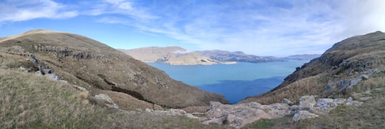
2 - Godley Head
Godley Head, known to Māori as Awaroa or Otokitoki for the wider area, and called Cachalot Head by early French explorers, is a prominent headland in Christchurch, New Zealand, located at the entrance to Lyttelton Harbour.
Learn more Book this experience
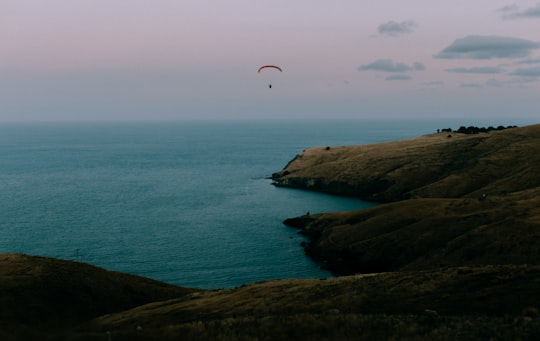
3 - Sumner
Sumner is a coastal seaside suburb of Christchurch, New Zealand and was surveyed and named in 1849 in honour of John Bird Sumner, the then newly appointed Archbishop of Canterbury and president of the Canterbury Association.
Learn more
4 - Godley Head Road
Scarborough is a hillside suburb above Sumner in Christchurch, New Zealand. Scarborough is located between Sumner and Te Onepoto / Taylors Mistake. It was named for the seaside resort in North Yorkshire, England.
Learn more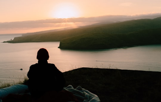
5 - Avon River
The Avon River / Ōtākaro flows through the centre of the city of Christchurch, New Zealand, and out to an estuary, which it shares with the Heathcote River, the Avon Heathcote Estuary.
Learn more Book this experience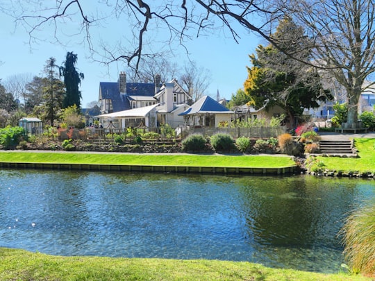
6 - New Brighton
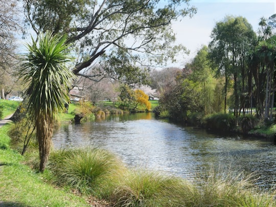
New Brighton is a coastal suburb of Christchurch, New Zealand, 8 kilometres east of the city centre. At the 2013 census, it had a population of 2,442. The 2011 Christchurch earthquakes caused significant damage in the area.
Learn more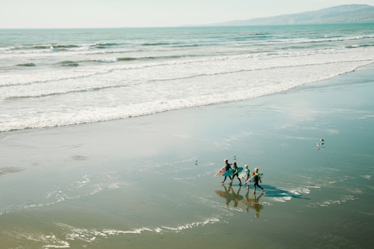
7 - Christchurch Gondola
The Christchurch Gondola is a tourist attraction service offered by Christchurch Attractions in Christchurch, New Zealand. The gondola base is located in Heathcote Valley, and it traverses the slopes of Mount Cavendish in the Port Hills.
Learn more Book this experience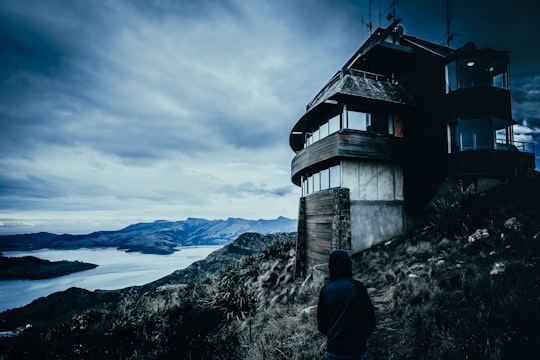
8 - Cathedral Square
Cathedral Square, locally known simply as the Square, is the geographical centre and heart of Christchurch, New Zealand, where the city's Anglican cathedral, ChristChurch Cathedral is located.
Learn more Book this experience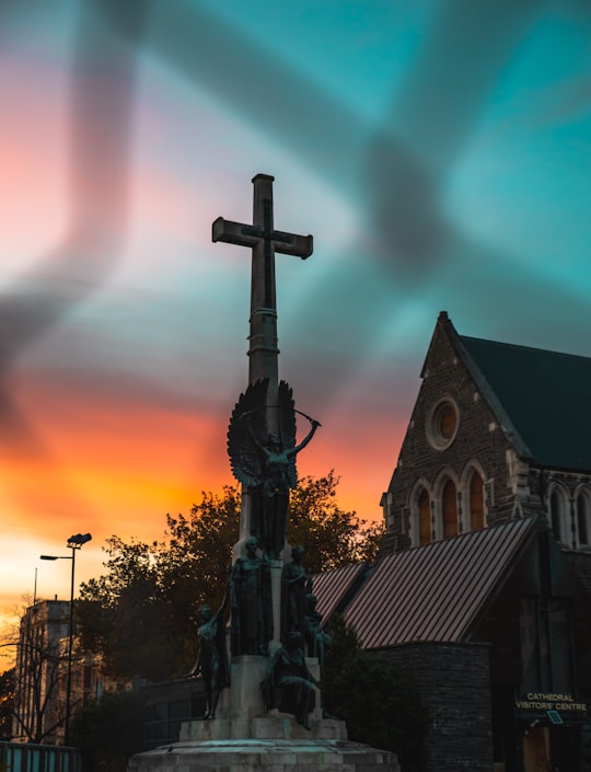
9 - Christchurch Botanic Gardens
The Christchurch Botanic Gardens, located in the central city of Christchurch, New Zealand, were founded in 1863 when an English oak was planted to commemorate the solemnisation of the marriage of Prince Albert and Princess Alexandra of Denmark.
Learn more Book this experience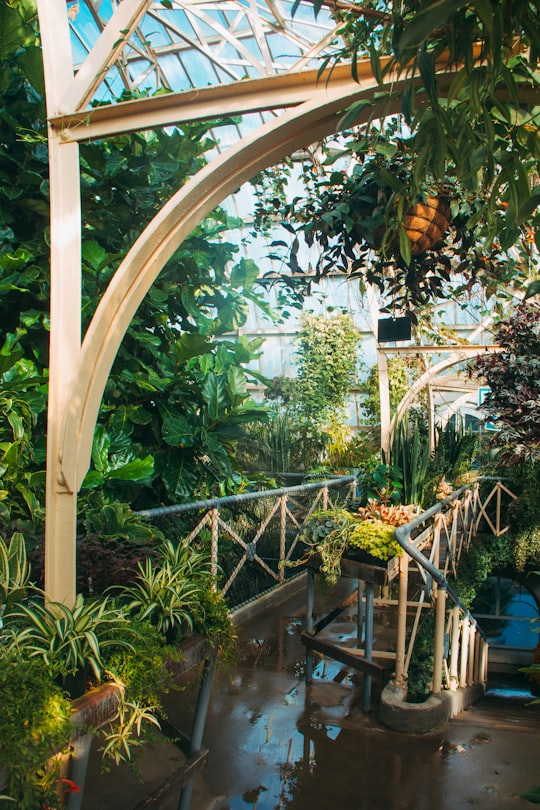
10 - Port Hills
The Port Hills are a range of hills in Canterbury, New Zealand, so named because they lie between the city of Christchurch and its port at Lyttelton. They are an eroded remnant of the Lyttelton volcano, which erupted millions of years ago.
Learn more Book this experience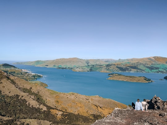
11 - Lyttelton
Lyttelton is a port town on the north shore of Lyttelton Harbour, at the northwestern end of Banks Peninsula and close to Christchurch, on the eastern coast of the South Island of New Zealand.
Learn more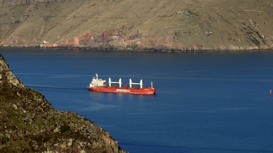
12 - Rangiora
Rangiora is the largest town and seat of the Waimakariri District, in Canterbury, New Zealand. It is 29 kilometres north of Christchurch, and is considered a satellite town of the city.
View on Google Maps Book this experience
13 - State Highway 73
Learn more
Disover the best Instagram Spots around Waimakariri here
Book Tours and Activities in Waimakariri
Discover the best tours and activities around Waimakariri, New Zealand and book your travel experience today with our booking partners
Pictures and Stories of Waimakariri from Influencers
Picture from Jordan Heath who have traveled to Waimakariri

- Kashana Rentoul - Waimakariri River Forest ...click to read more
- Experienced by @Jordan Heath | ©Unsplash
Plan your trip in Waimakariri with AI 🤖 🗺
Roadtrips.ai is a AI powered trip planner that you can use to generate a customized trip itinerary for any destination in New Zealand in just one clickJust write your activities preferences, budget and number of days travelling and our artificial intelligence will do the rest for you
👉 Use the AI Trip Planner
Why should you visit Waimakariri ?
Travel to Waimakariri if you like:
🌲 ForestWhere to Stay in Waimakariri
Discover the best hotels around Waimakariri, New Zealand and book your stay today with our booking partner booking.com
More Travel spots to explore around Waimakariri
Click on the pictures to learn more about the places and to get directions
Discover more travel spots to explore around Waimakariri
🌲 Forest spotsTravel map of Waimakariri
Explore popular touristic places around Waimakariri